Of course I figured it out as soon as I posted my question.
For anyone who wants to know, here's how the map layout gets drawn:
1)Tiles get defined. Define your tiles with their
signifier (used in the actual matrices that draw the map),
file source path (minus the extension, currently it uses .png automatically),
size (XxY, the actual photo dimensions),
roof dimensions (same thing, but for the roof tile image if the building has one),
has roof (True if you have a roof for the building),
goToLabel (string to jump to, good for switching maps or scenes to the interior), and the
action which can be a text string. Here's the example code, with my own custom skyscraper tile added as "4":
Code: Select all
    #TILESETS

    #signifier, base name, building size, roof size, has roof, goToLabel, actionLabel (used for descriptions)
    moordell_tiles = [
    ["1","cute_buildings/1", (256,216), (256,256),True,None,"building_locked"],
    ["2","cute_buildings/2", (256,216), (256, 256),True,None,"building_locked"],
    ["3","cute_buildings/3", (256,216), (256,256),True,None,"building_locked"],
    ["*","cute_buildings/inn", (342,216),(342,256),True, "inn","inn_desc"],
    ["n", "cute_buildings/wall", (128,128),None,False,None,None],
    ["e", "cute_buildings/wall", (128,128),None,False,None,None],
    ["w", "cute_buildings/wall", (128,128),None,False,None,None],
    ["s", "cute_buildings/wall", (128,128),None, False,None,None],
    ["4", "cute_buildings/4", (258,320),None,False,None,"inn_desc"],
    ["p", "dirt", (128,128),None, False, None,None],
    ["g", "grass", (128,128),None, False, None,None],
    ]
2)Next, the program uses the signifiers of sprites, objects, etc., in a matrix to layout the map. Here's my example one:
Code: Select all
    moordell_layout =[
    "nnnnnnnonnnnnnn",
    "w3oo*ooo4oo4ooe",
    "woooooo+ooooooe",
    "woooooooooooooe",
    "w3oooooo1oooooe",
    "woooooooooooooe",
    "woooooooooooooe",
    "w2o3ooooo1oo2oe",
    "woooooooooooooe",
    "woooooooooooooe",
    "w3ooo4o3o2oo1oe",
    "woooooooooooooe",
    "woooooooooooooe",
    "w1o2o2ooo3o4ooe",
    "woooooooooooooe",
    "woooooooooooooe",
    "sssssssssssssss",
    ]
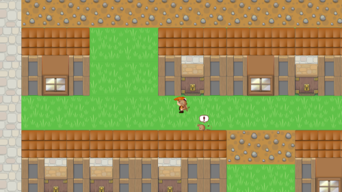
Notice the number '4" in there. That's where my Skyscraper tile will be placed in the graph/map when it is drawn out. The same goes for the other buildings, and even the walls ("w" = west wall, "e" = east wall, "s" = south wall and so forth).
Hope it helps.